Our cloud-based application software offers agencies an easy and dynamic platform to manage and monitor caseloads.
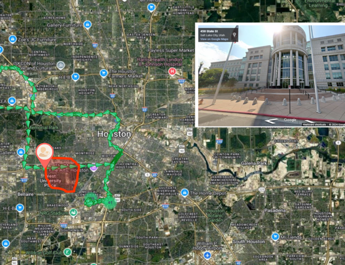
View offender tracking information and create customized zones utilizing a full suite of Google Maps® and Open Street Maps.

An interactive map that filters and displays the last known location of all active offenders.

Activates “Auto update” map mode and sends command to the bracelet to increase tracking and reporting intervals to 10 seconds.

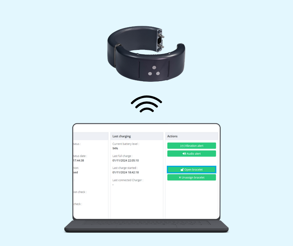
Authorized users can remotely open the bracelet at any time if the officer Key is unavailable or in cases of emergency. Additional remote options include: Vibrate and Audio.

Available to run 24/7 on individual or all offenders and are downloadable in CSV, Excel or PDF formats.

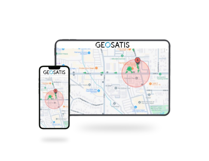
A streamlined version of GMS is available via any smartphone or tablet.

© 2025 GEOSATIS All Rights Reserved